نظم المعلومات الجغرافية
نظم المعلومات الجغرافية
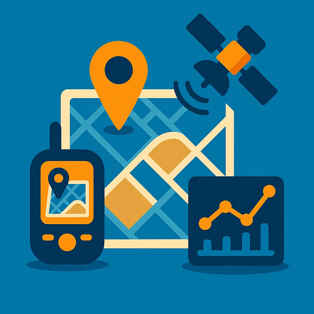
يركز تخصص نظم المعلومات الجغرافية على جمع وتحليل وعرض البيانات المكانية (المرتبطة بالموقع الجغرافي)، من خلال برامج وتقنيات خاصة تساعد في اتخاذ قرارات مبنية على الموقع. يُستخدم في مجالات التخطيط الحضري، البيئة، النقل، الزراعة، الأمن، وإدارة الكوارث.
⭐ مميزات التخصص:
✅ تقني وعصري ومطلوب عالميًا
✅ تطبيقات متعددة في القطاعات الحكومية والخاصة
✅ يجمع بين علوم الحاسوب والجغرافيا
✅ يساهم في تحسين التخطيط واتخاذ القرار
✅ يدعم مشاريع التنمية المستدامة
📚 المواد الدراسية الأساسية:
🔹 أساسيات نظم المعلومات الجغرافية
🔹 الاستشعار عن بعد (Remote Sensing)
🔹 تحليل البيانات المكانية
🔹 قواعد البيانات الجغرافية
🔹 الخرائط الرقمية والتصميم الكارتوغرافي
🔹 برمجيات GIS (مثل ArcGIS، QGIS)
🔹 نظم تحديد المواقع GPS
🔹 تطبيقات GIS في التخطيط والبيئة والزراعة
💼 فرص العمل بعد التخرج:
✅ محلل بيانات مكانية
✅ موظف في البلديات ودوائر التخطيط العمراني
✅ باحث في قضايا البيئة والموارد الطبيعية
✅ مختص في إدارة الكوارث
✅ فني خرائط رقمية أو رسام خرائط
✅ مطور تطبيقات مكانية في شركات التقنية
التخصصات


Copyright @ | All Right Reserved. Developed by Alameer Media.